
Java Graticule 3D
Professional tool for spatial data calculations
Description
Java Graticule 3D provides professional-grade solutions for spatial data processing and geodetic estimations. The software's comprehensive feature set supports everything from basic coordinate transformations to complex network analyses, all within a user-friendly interface. With exceptional 3D earth visualization and map rendering capabilities, it offers unparalleled geographic data representation. Cross-platform compatibility ensures seamless operation on both Mac and Linux systems, making it the go-to choice for professionals in surveying, engineering, and geographic information systems.
Screenshots
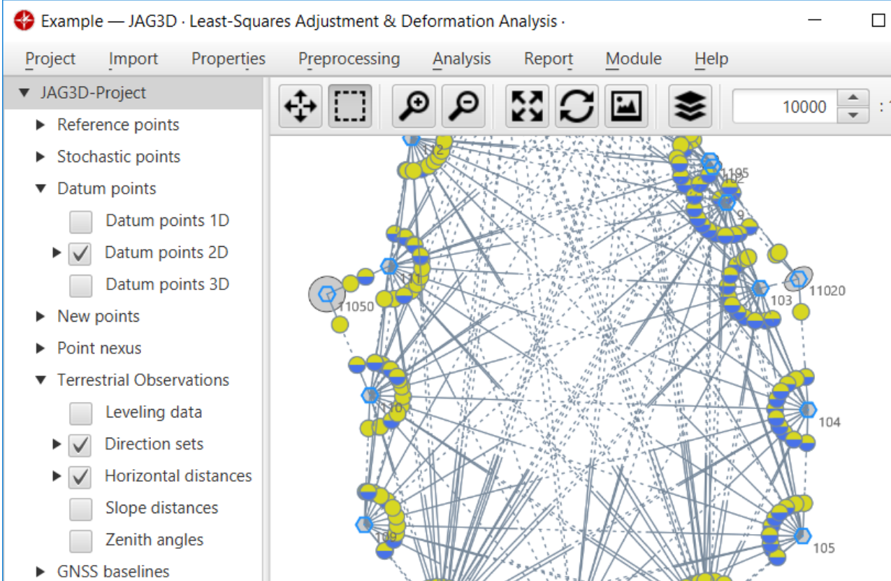
Click to view full size