
GeoRefImg
Set custom image sizes and placements
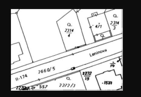
Description
Take full control over raster image placement in your CAD projects. GeoRefImg provides the tools to not only georeference but also to meticulously customize the size and position of your images in AutoCAD. Go beyond simple insertion; define exact scaling factors and precise coordinate-based placement for any supported raster file. This capability ensures that background maps, site photographs, and historical plans are integrated at their true dimensions and location, forming a perfectly aligned foundation for detailed design, annotation, and drafting work.
Screenshots
Click to view full size