
Aven
Survey analyze and map caves with powerful software
Description
Aven combines surveying, analysis, and cartography into a single, reliable geographical tool. It empowers users to not only plot cave passages but also perform advanced analyses like volume calculations, elevation profiling, and network statistics. The software facilitates a deeper scientific understanding of subterranean structures. By turning raw data into actionable insights and detailed maps, Aven supports critical decision-making for exploration, resource management, and academic study of the underground realm.
Screenshots
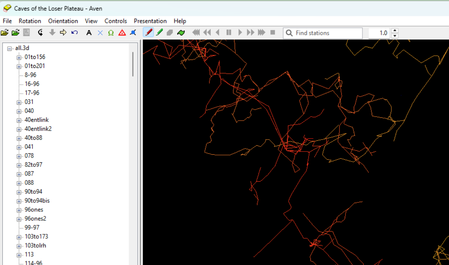
Click to view full size